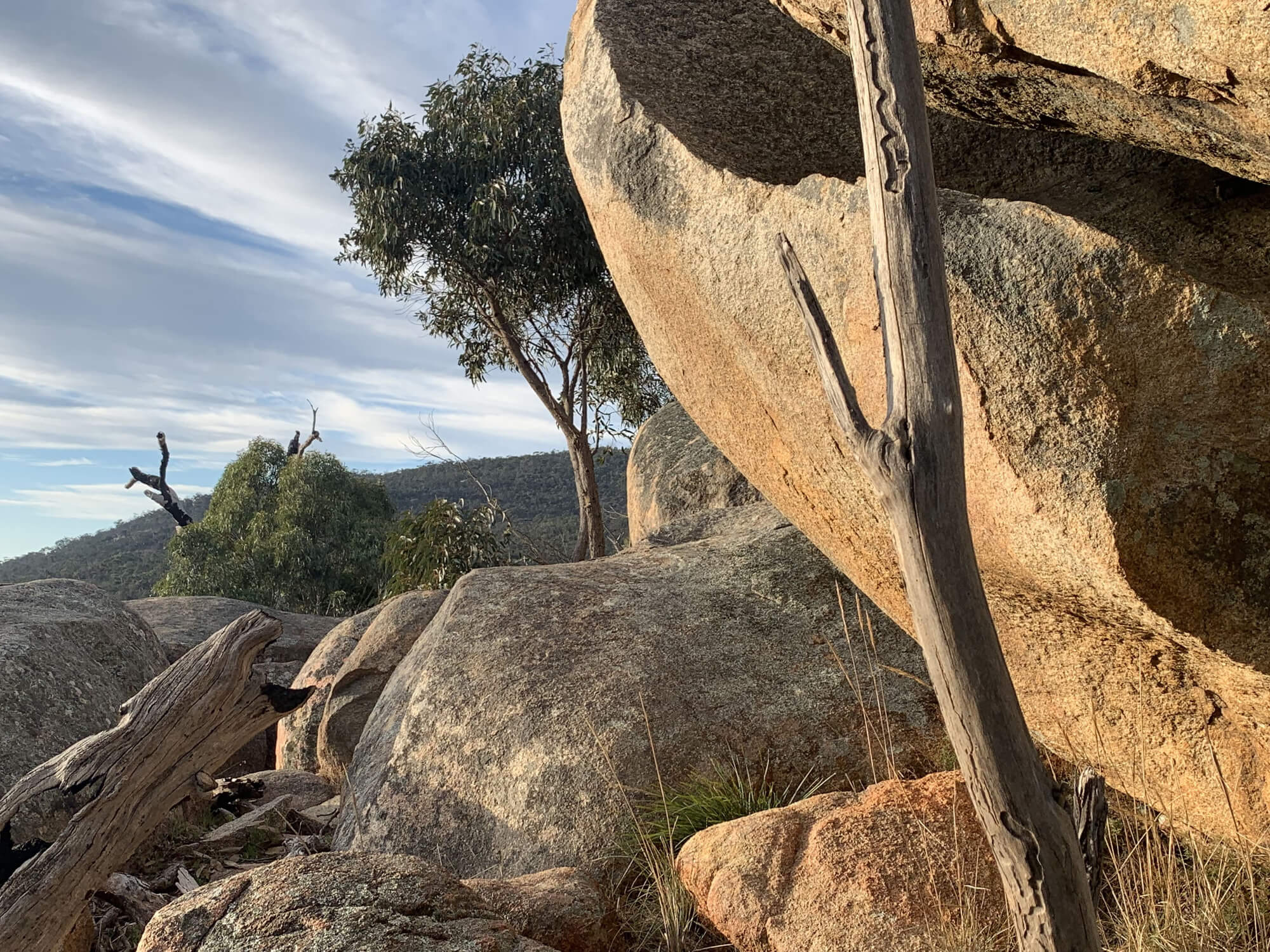
Part of the greater Gariwerd landscape, the Black Range is of high cultural heritage significance to its Traditional Owners, most notably for Bunjil’s Shelter, home to the only known rock art depiction of the Aboriginal creator spirit Bunjil.
The area includes the headwaters for the Concongella, Pleasant and Mt William Creeks and today is comprised of 80% private landholdings zoned ‘rural conservation’ and 20% public land conservation reserve managed by Parks Victoria.
The open woodland landscape incorporates the dominant species of Yellow Box, Long Leaf Box and Black Wattle, but also includes less abundant species of Scent Bark, Red Gum, Swamp Gum communities.
A rich diversity of mid and ground layer flora exists, subject to grazing pressures of feral and native animals. The granitic soils are of low fertility. Water erosion hazard through sheet erosion is high risk. Average annual rainfall has historically been between 550mm – 575mm, (A Study of the Land in the Grampians Area, Soil Conservation Authority Victoria 1967) though this average rainfall has been demonstrably reducing as the climate changes, especially over the last two decades.
Since European settlement the Range has been impacted by timber and rock harvesting, grazing, wildfires - most recently in 2003, 2006, and 2014; a loss of biodiversity - notably understory plants and mammals such as the Southern Brown Bandicoot; and an increase in invasive plants and overgrazing by feral and indigenous herbivore mammals.
There are six distinct weather periods recognised by Traditional Owners in the Gariwerd seasonal cycle, in Djabwurrong and Jardwadjali languages. You can see the calendar on the BOM website.
The Black Range sits to the east of Gariwerd in central Victoria.